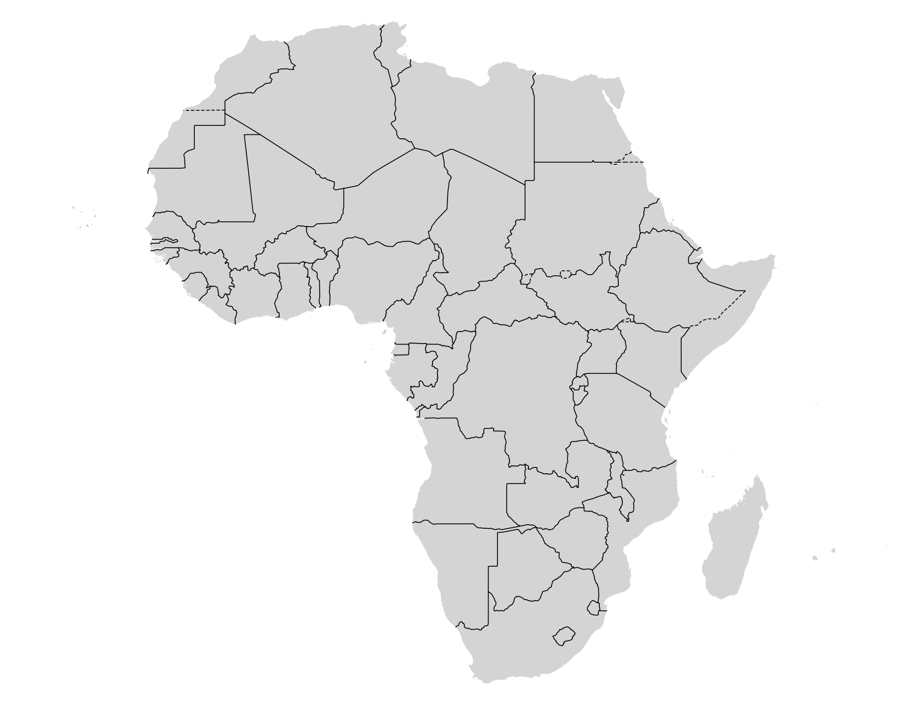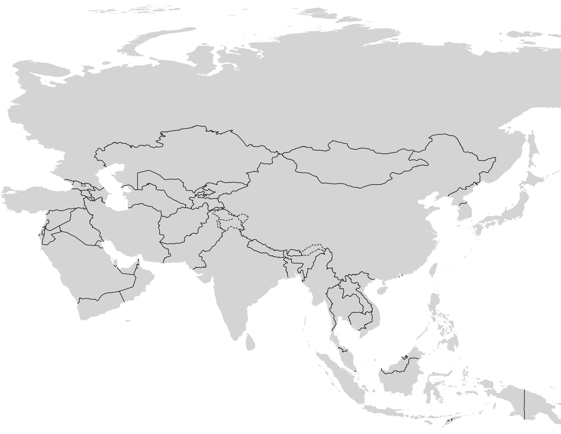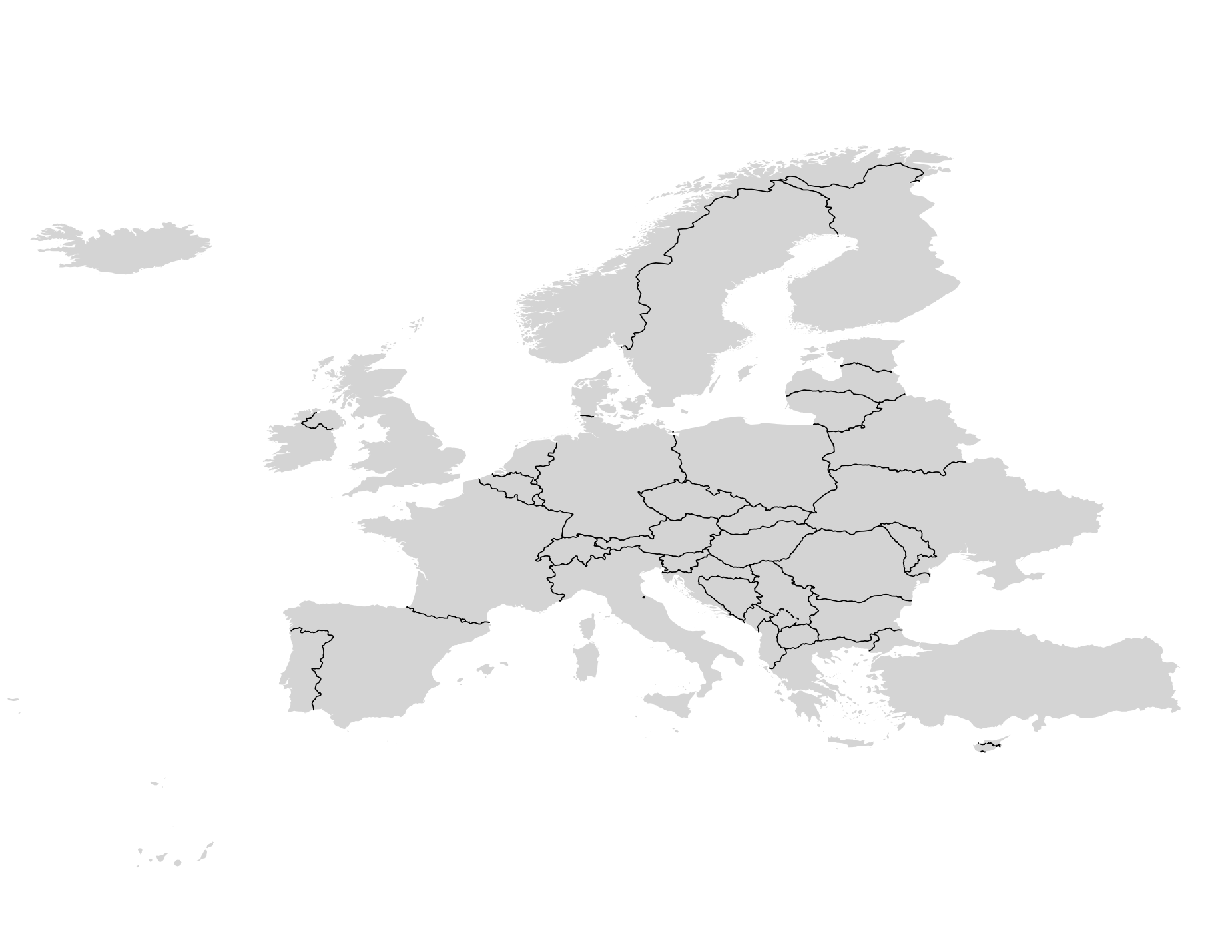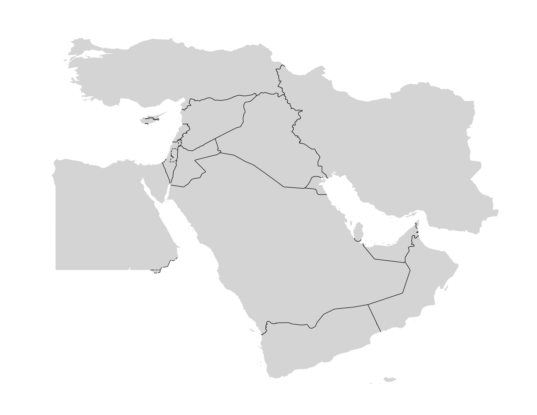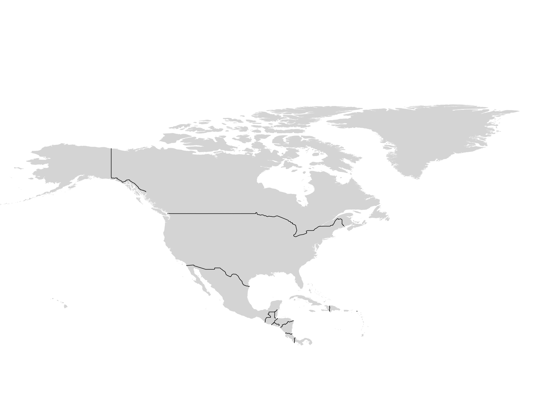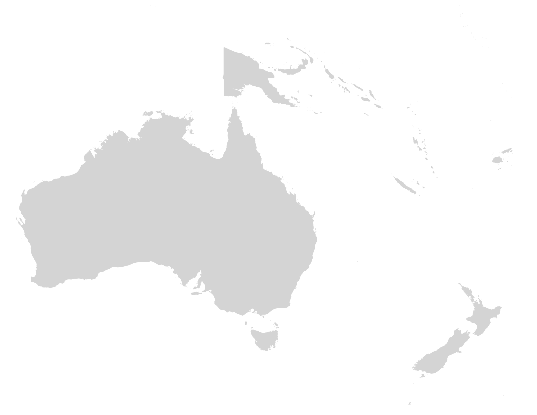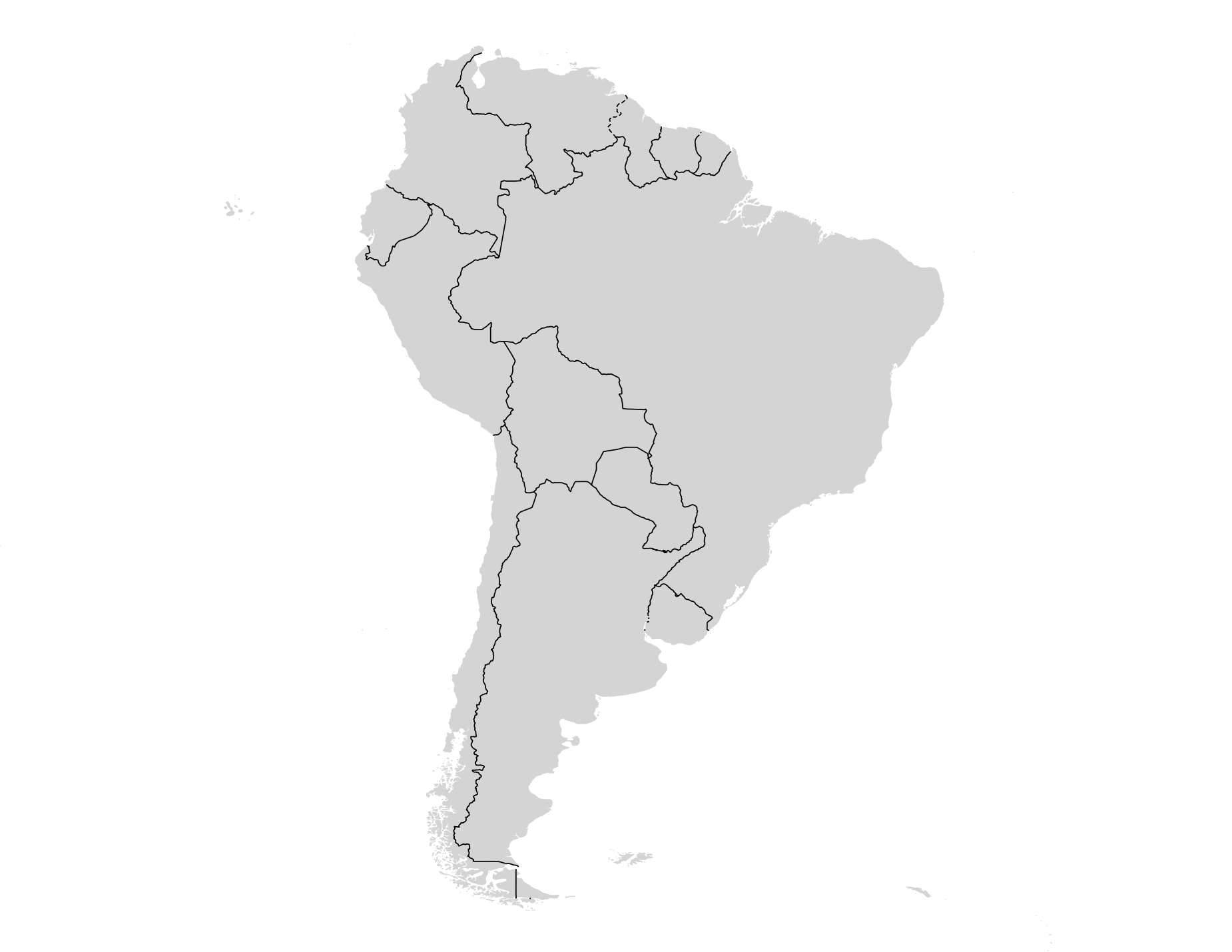
Download starter kits
The boundary data is split across two file types — polygons and lines — which serve different purposes in map styling. Because the line files carry the disputed attribute on every border segment, and the polygon files define the land fill areas, the two are designed to be used together for a complete country boundary representation.
Using polygons and lines together
For the most geopolitically accurate representation, layer both file types:
- Polygons — use for the country fill. Apply a colour fill with no stroke, so the polygon edges do not visually interfere with the boundary lines layer drawn on top.
- Lines — use for the border stroke. Style the lines conditionally based on the
disputedfield:disputedvalueRecommended style Represents 0Solid line — Recognized border 1Dashed line - - - Contested border
Draw the lines layer on top of the polygons layer. This ensures that disputed borders are drawn once, correctly, rather than inherited from the polygon stroke.
When to omit disputed borders
There are instances when it is not necessary to cartographically show disputed borders. However, this comes down to the map’s purpose, the audience and how much the border itself matters to the story. Always talk to your editor before deciding to not show disputed borders on a map.
For thematic or choropleth maps where the geopolitical situation is not central to the story, a simplified approach might be better — it can be distracting to show disputed borders. If you choose to not show the disputed borders at all, apply both fill and a uniform border stroke directly from the polygon file, ignoring the disputed attribute entirely.
Some potential use cases for this approach include:
- A thematic map showing ocean currents, where the focus is on the oceans rather than land borders.
- A thematic map showing landcover or vegetation types across countries, where the focus is on the natural environment.
Global starter kit and QGIS file
For the quickest way to begin with appropriately styled country boundaries, download the global data bundle — a single zip containing the QGIS project file and all shapefile datasets (lines and polygons at high, medium, and low detail).
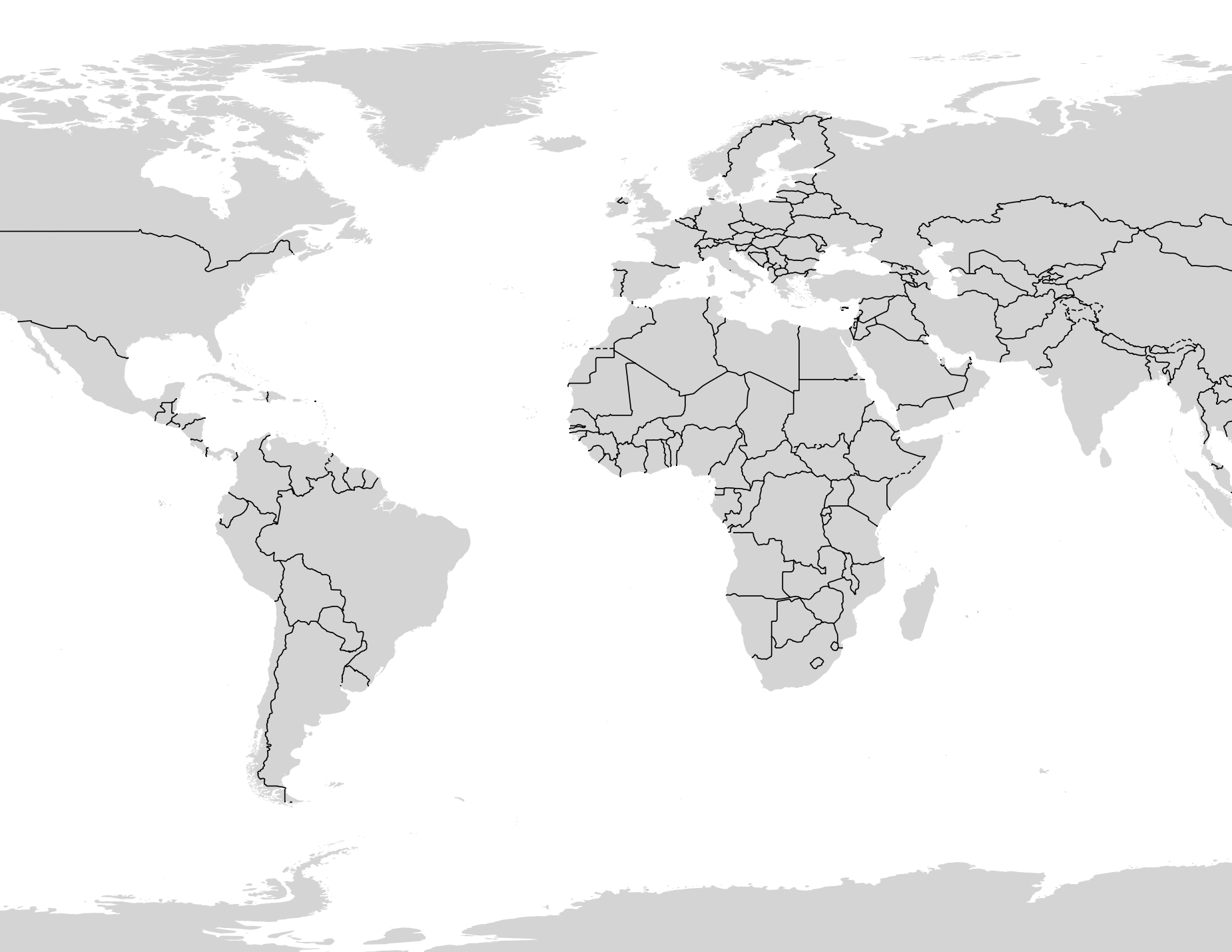
Regional starter kits and QGIS files
Each regional starter kit contains a QGIS project file pre-styled with polygon and line data clipped to that geographic region.